Thinking about keeping a boat at your Marco Island home? The bridges between your dock and the Gulf can determine what you can run, when you can go, and how easy every trip feels. If you love sailboats, tall center consoles, or flybridge cruisers, understanding vertical clearance is essential. In this guide, you’ll learn how local crossings affect access, where to verify official numbers, and how to choose the right vessel and route with confidence. Let’s dive in.
Why bridge clearance matters on Marco Island
Vertical clearance, sometimes called air draft, is the space between the water and the bottom of a bridge. Your boat’s highest fixed point has to pass safely under each crossing on your route. If a bridge is too low, you may need a different boat, an alternate route, or to plan transits at certain tides.
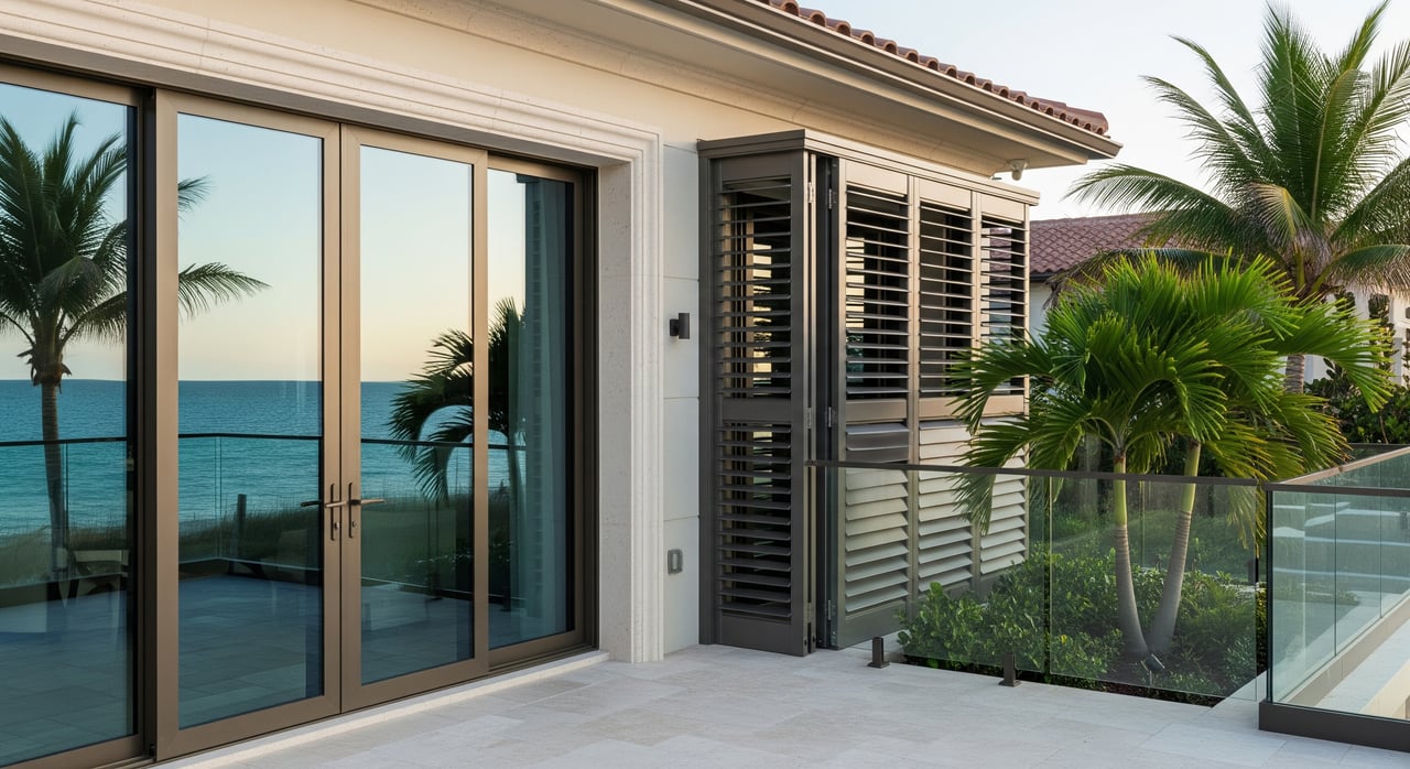
Clearance impacts daily usability and resale value. Homes behind low canal bridges are perfect for smaller powerboats and kayaks but may restrict taller vessels. If your goal is open-water cruising from your backyard dock, confirm that your intended route clears every fixed crossing at the tides you normally run.
The crossings you will encounter
High-span causeway bridges
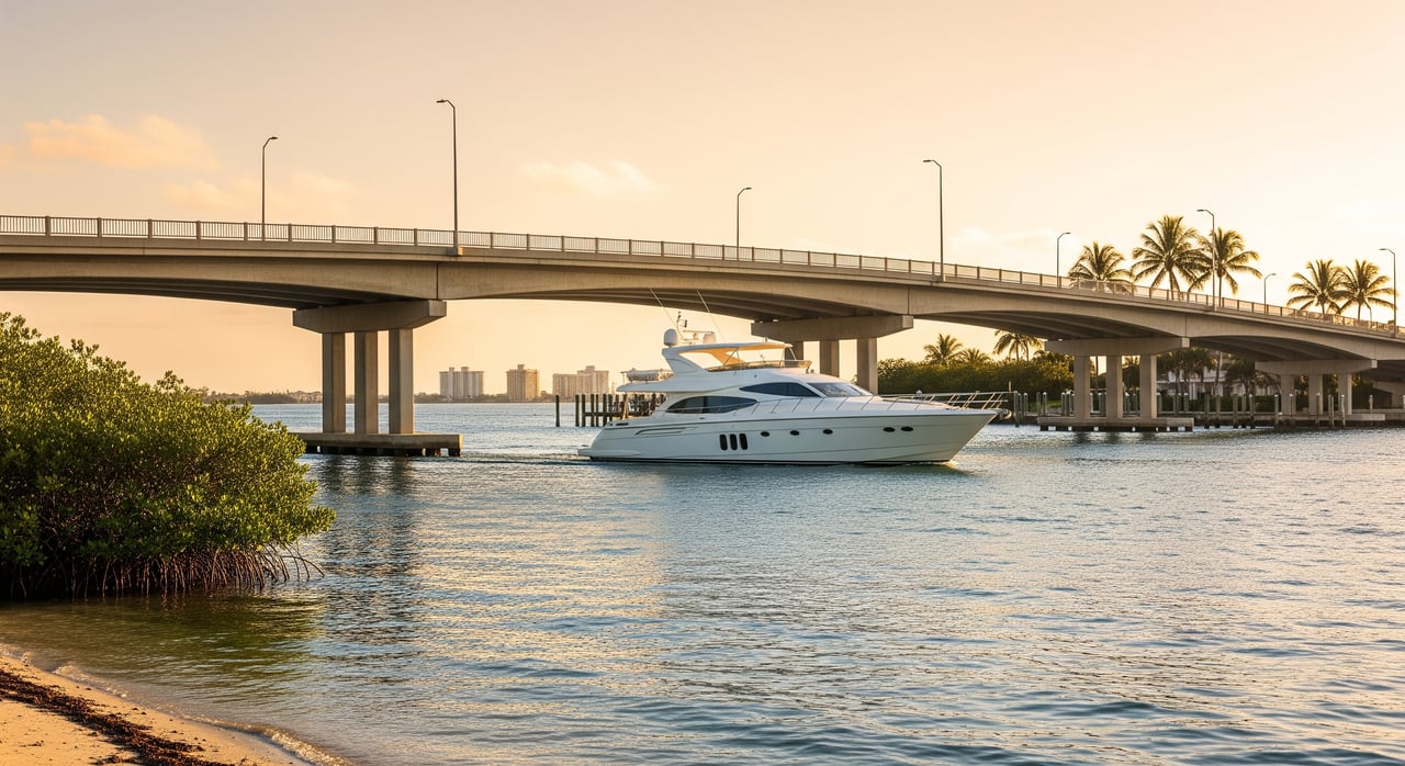
The primary causeway bridges that carry vehicles to and from Marco Island are common checkpoints for taller boats. Regionally, high fixed spans on coastal causeways often fall in the mid-range of tens of feet, with typical examples around 30 to 60 feet. Exact clearances vary by structure and must be verified using official sources before you buy a home or select a boat.
These bridges are usually the biggest fixed hurdle for sailboats and taller powerboats moving between inland canals or the Marco River and the Gulf. Always confirm the published clearance, the tidal datum used, and your real-world margin.
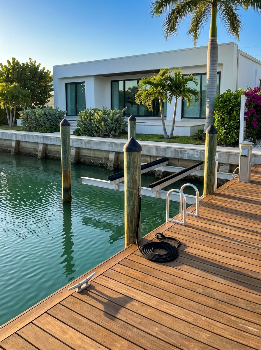
Low fixed canal and neighborhood bridges
Short-span bridges across residential canals can be surprisingly low. Many sit in the single digits to low teens, which can restrict most sailboats and taller express or flybridge designs. Even some hardtop center consoles with radar arches may not clear at average tides.
These bridges shape what type of boat comfortably lives behind the house. If your property is tucked behind one or more low fixed crossings, plan for a smaller profile boat or confirm whether practical alternate routes or marina slips exist.
Movable bridges in the region
Some Florida waterways use bascule or drawbridges that open on schedule or by request. Around Marco Island, the route-limiting crossings are typically fixed causeways rather than movables. If your route includes a movable span, review its opening procedures and timing on official charts and notices.
Natural passes and inlets
Unbridged passes like the channels between barrier islands are the gateways to the Gulf. These do not constrain air draft, but they can shoal or run with swift currents. Before planning offshore runs, review channel depths and local advisories for safe passage.
How to verify exact clearance numbers
You should always verify bridge clearances from official, current sources before relying on a route. Follow this routine:
Map your route. From the dock to the Gulf, list every fixed crossing your boat will pass under.
Confirm published clearances. Check the bridge annotations on the official NOAA Coast Survey Map. Note each published vertical clearance and the tidal datum used, often Mean High Water or Mean Lower Low Water.
Check recent notices. Review the latest U.S. Coast Guard Local Notice to Mariners for any temporary restrictions, construction, or changes.
Cross-check ownership data. For highway causeways and state routes, consult the Florida Department of Transportation bridge information. For county-maintained structures, use the Collier County GIS open data hub or contact county engineering for specifications.
Call local experts. Local marinas and boating clubs can share practical updates and route tips. The Marco Island Yacht Club is a helpful point of contact for current, on-the-water insights.
Boat selection and planning around clearances
Start with your vessel’s air draft. Measure from the waterline to the highest fixed point in normal running mode, including radar domes, light masts, bimini frames, and antennas. If antennas fold, measure with them in their underway position.
Use these general planning ranges as a starting point, then confirm against your route:
- Kayaks, canoes, inflatables: negligible air draft, essentially unrestricted.
- Small center consoles and bay boats: roughly 5 to 9 feet; often clear many neighborhood bridges and all causeways, depending on the exact span.
- Pilothouse trawlers and express cruisers: roughly 12 to 25 feet; may be limited by low canal bridges but often clear higher causeways.
- Sailboats: daysailers around 25 to 35 feet, coastal cruisers around 35 to 55 feet, and larger bluewater rigs at 60 feet or more. Verify every fixed span on your route, especially the primary causeways.
If a preferred boat will not clear a nearby bridge, consider alternatives. You could keep a smaller boat at the house and a taller vessel at a nearby marina, or use a lift or dry stack for seasonal use when conditions allow. Discuss options with local marina managers before you commit.
Tides, weather, and safety margins
Tide stage changes the available clearance under every bridge. In Southwest Florida, the tidal range is modest, but a 1 to 2 foot swing can be the difference between an easy pass and a hard stop. Use official NOAA tide predictions for your planned transit times.
Always allow a practical safety margin. A buffer of 2 to 4 feet is a common rule of thumb, and you may want more when the published clearance uses a different datum than your tide reference or when recent weather has elevated water levels. Heavy rain, river flow, and storm surge can alter both depth and clearance.
Buyer and owner checklist before you buy
- Identify each fixed crossing from your dock to the Gulf and note its published clearance and datum.
- Measure your vessel’s air draft in normal running configuration, including arches and mounted gear.
- Calculate your safety margin and confirm whether clearance is quoted at Mean High Water or another datum.
- Review the NOAA Coast Survey Map and the U.S. Coast Guard Local Notice to Mariners for current information.
- Contact a nearby marina or boating club for up-to-date local conditions and practical advice.
- If you plan to own a sailboat, decide whether mast stepping is realistic at home or via nearby facilities.
- If the property sits behind low fixed bridges, confirm alternate routes or consider a slip outside the bridges for a taller boat.
- When purchasing a home, request a boating access memo from the seller that lists the route, each crossing, and the published clearances. Consider adding clearance verification to your due diligence and contingencies.
Local support and next steps
Bridge clearances on Marco Island are manageable when you verify the details. By confirming the exact crossings, checking official sources, and planning for tides, you can match the right property with the right boat and enjoy smooth access to the Gulf.
If you want a waterfront home that truly fits your boating lifestyle, let’s coordinate your search around verified routes and clearances. For tailored guidance, private showings, and concierge support, connect with Angelica Andrews today.
FAQs
How do bridge clearances affect my boat choice on Marco Island?
- Your boat’s air draft must clear every fixed crossing on your route. If nearby canal bridges are low, you may choose a lower-profile powerboat or keep a taller vessel at a marina outside the bridges.
Where can I find official bridge clearance numbers for Marco Island?
- Use the NOAA Coast Survey Map for charted annotations, then check the U.S. Coast Guard Local Notice to Mariners for recent changes and FDOT or Collier County records for bridge specifications.
What tidal datum do clearance signs and charts use?
- Published clearances are often referenced to Mean High Water or Mean Lower Low Water. Always note the datum and adjust your planning with NOAA tide predictions.
Are movable bridges common on Marco Island routes?
- Most route-limiting crossings in the area are fixed causeways. If a movable span is on your route, check charts and notices for opening schedules and procedures.
What safety margin should I plan under bridges?
- A practical margin of 2 to 4 feet is a common rule of thumb. Increase your buffer if the datum differs from your tide reference or if recent weather has raised water levels.