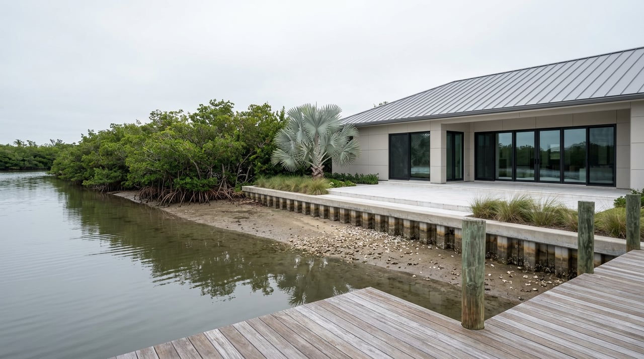
"This channel is meant to maintain the flushing at the dead end of the lagoon."
That's how Marco Island's city engineer, Mohamed Dabees of Humiston & Moore Engineers, described the real job of the water separating Tigertail Beach's parking lot from its outer sand in an account published by DredgeWire. Not foot traffic. Flushing. For years, islanders and visitors staying near Tigertail have cut straight across that lagoon at low tide rather than walking the long way around to reach the outer beach and Sand Dollar Island. It ran ankle-to-knee deep on a good day, waist to chest on a bad one, and everybody who used it knew the drill. Then the city dredged the lagoon in February, the crossing got noticeably deeper, and islanders spent months trading questions about it on Facebook before officials explained that the channel was never built to be a walking path in the first place.
What's interesting isn't that the crossing changed. Coastlines here move every year. What's interesting is why it changed, and what that reason tells you about a piece of the island that residents have quietly treated as their own for over a decade, even though it was never built for them.
The Wade Everyone Knew
Tigertail Beach sits at the north end of Marco Island, and it has always had a split personality. On the near side of the tidal lagoon is the developed park: parking, a bath house, a playground, sand volleyball. On the far side is Sand Dollar Island, a spit of Gulf-facing sand that draws shellers and birders because it's harder to reach than the main beach. The lagoon in between is what everyone talks about. Residents who've made the crossing for years describe timing it to the tide, wearing water shoes for the soft bottom, and treating a knee-deep wade as part of the charm.
That wade was never an official beach access route. It was tolerated foot traffic across a channel that exists for a completely different reason, and this February the city did work on that channel that had nothing to do with pedestrians at all.
What the City Actually Dredged in February
According to Marco Island's own public update, published through the city's "Now You Know" column in early February, this year's maintenance at Tigertail Lagoon and Sand Dollar Island focused on two things: grading the sand berm to fix escarpments before bird and turtle nesting season began, and clearing shoaling sections along what the city calls "the authorized flow channel" to restore tidal circulation to the southern part of the lagoon. The work was contracted through the City of Marco Island and funded by the Hideaway Beach Tax District, the same funding source that has paid for this kind of maintenance since 2013.
By late summer, DredgeWire was reporting what residents had already noticed on the ground: the dredging made the lagoon deeper and harder to wade across. One longtime resident, John Sidelko, told DredgeWire he'd watched neighbors cut across that water for years.
"I've never personally done it, but I've seen a lot of people walk across."
That gap between what residents assumed the lagoon was for and what the city was actually managing it for is the whole story. It explains everything that's happened to that crossing since 2013, and why residents were never the intended audience for any of it.
A Decade of Engineering That Was Never About the Walk
Tigertail Lagoon and Sand Dollar Island have been under some form of restoration or maintenance dredging almost continuously since Hurricane Irma in 2017 pushed sand around and started closing off the lagoon's natural tidal exchange. The Hideaway Beach Tax District, the district that funds this work, has spent roughly $3 million on it since 2013 alone.
| Period | What happened | Who paid |
|---|---|---|
| 2013, 2016, 2019 | Smaller maintenance dredges to keep tidal flow open | Hideaway Beach Tax District |
| Nov. 2022 to 2023 | Full ecosystem restoration: roughly 417,000 cubic yards removed from the "sand trap" at the north end, about 500,000 cubic yards used to rebuild the protective berm | Hideaway Beach Tax District (about $3.3 million), plus $921,000 in Collier County tourist tax funds for Hurricane Ian damage |
| Feb. 2025 | Storm-pushed sand from 2024 damage reused to rebuild Sand Dollar Island rather than trucking in new material | City requested $575,073 in reimbursement from the Collier County Tourist Development Council |
| Feb. 2026 | Berm graded ahead of nesting season; shoaling cleared from the flow channel to restore tidal flushing at the lagoon's dead end | Contracted through the City of Marco Island, funded by the Hideaway Beach Tax District |
None of that work exists to make the walk easier or harder for people. It exists to keep the channel from closing entirely, which would choke off tidal exchange, strand seagrass that manatees feed on in the lagoon, and leave Sand Dollar Island exposed to the kind of overwash that nearly severed it during Hurricane Irma and again after Hurricane Ian in 2022. The north end of Marco Island has been retreating at 40 to 50 feet a year, according to Dabees's presentation to the city council in early 2025, and the entire restoration effort is built around slowing that down. A deeper pedestrian crossing is a side effect, not a design goal.
The Low-Tide Math Now
The practical result for residents is a crossing that behaves differently than it did even two years ago. Where the wade used to clear the knee at low tide and reach the waist at high tide, the deepened channel now holds more water at every point in the tide cycle, including the falling tide islanders used to treat as the safe window. If you're planning to cross, checking a tide chart the night before isn't optional anymore. Going in near low tide and turning around before the tide starts running back in is the difference between a manageable walk and getting caught in moving water with your shoes full of mud.
Three Ways Residents Are Adjusting
Islanders who've made the crossing part of their routine are handling the change a few different ways.
- Walking the southern end. The lagoon narrows and shallows out where it curves around at the south, and some residents now walk that route instead of the direct crossing, adding distance but avoiding the deepest water.
- Paddling across. Kayaks and paddleboards sidestep the depth question entirely, and it's the option the city and local guides increasingly point people toward.
- Staying on the near side. The developed part of Tigertail, facing the lagoon rather than the Gulf, still has the bath house, the playground, and enough beach for a full afternoon without crossing anything at all.
The Nesting Season Wrinkle
The timing of this year's work wasn't arbitrary either. The city scheduled the berm grading specifically to finish before bird and turtle nesting season, because the north tip of Tigertail borders the Big Marco Pass Critical Wildlife Area, where snowy plovers, least terns, and black skimmers nest between May and October. Sections of Sand Dollar Island get roped off during that window every year, and the tidal flushing the February work restored is part of what keeps that nesting habitat healthy in the first place. The crossing residents care about and the wildlife area the state regulates depend on the same channel doing the same job.
What This Actually Tells You
The version of Tigertail that longtime residents remember, the easy ankle-deep wade to Sand Dollar Island, was never a fixed feature of the place. It was a temporary condition created by how the sand happened to be sitting at any given moment, on a lagoon that a tax district, a coastal engineering firm, and the city have been actively managing for wildlife, storm protection, and boat traffic since 2013. Every time that management does its job well, the wade changes, because keeping the channel flushing and keeping it shallow enough to walk across are not the same goal, and this February's work was a reminder of which one the city is actually optimizing for.
That's worth knowing if Tigertail is part of your regular rotation. It's also the kind of detail that separates someone who's lived on this island long enough to watch its edges move from someone reading a beach guide written somewhere else.
If you're the kind of person who notices when a familiar corner of Marco Island shifts, and you're curious what else has changed along the water this year, Angelica Andrews spends her days tracking exactly that kind of local detail across the island and the Paradise Coast. Reach out anytime you want a resident's read on what's really happening here.